
ARCH HUNTER BOOKS; P.O. BOX 400034; THOMPSON SPRINGS, UT 84540-0034
e-mail: archhunter@direcway.com
To order any of these items go to http://www.sidecanyon.com/bookstore/books.htm or contact your local book store.
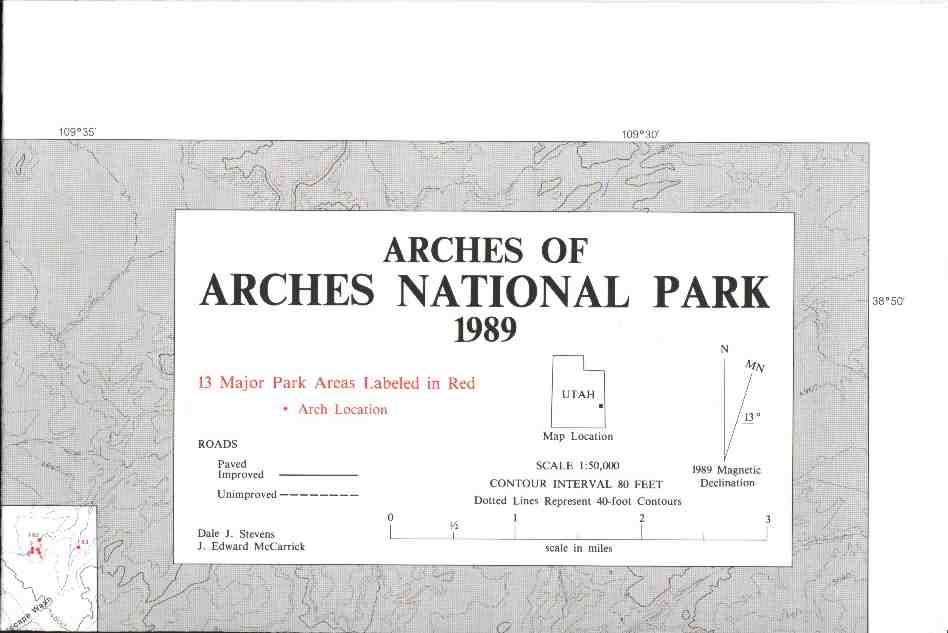 0601 Map of the ARCHES of ARCHES NATIONAL PARK by Stevens and McCarrick. This map shows the locations of hundreds of natural arches in the Park on four-color printed side. Reverse side catalogs by area, number, name, type and size of opening in feet. 18 x 49. (0601) Folded, $3.25 (0601R) Rolled, $4.25
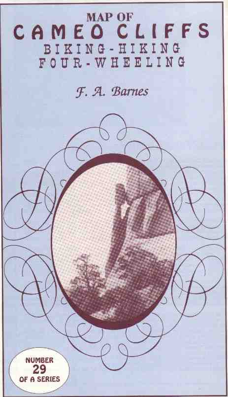 0029 Map of CAMEO CLIFFS by F.A. Barnes. Two-sided map shows roads, off-road vehicle trails and topography of CAMEO CLIFFS, plus regional locator map, and summaries of the area's geography and geology. 16 x 19. (0029) Folded $3.00
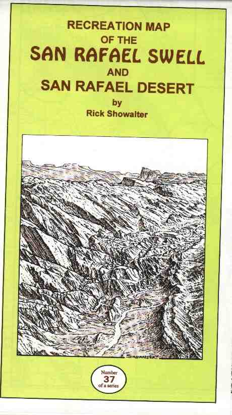 0037 Map of SAN RAFAEL SWELL and San Rafael Desert by Rick Showalter. Hand-drawn, shaded topographic map of roads, ORV trails and major features of southeastern Utah's San Rafael Swell and vicinity. Three colors, high gloss paper. 25 x 38, two-sided. (0037) Folded $6.50
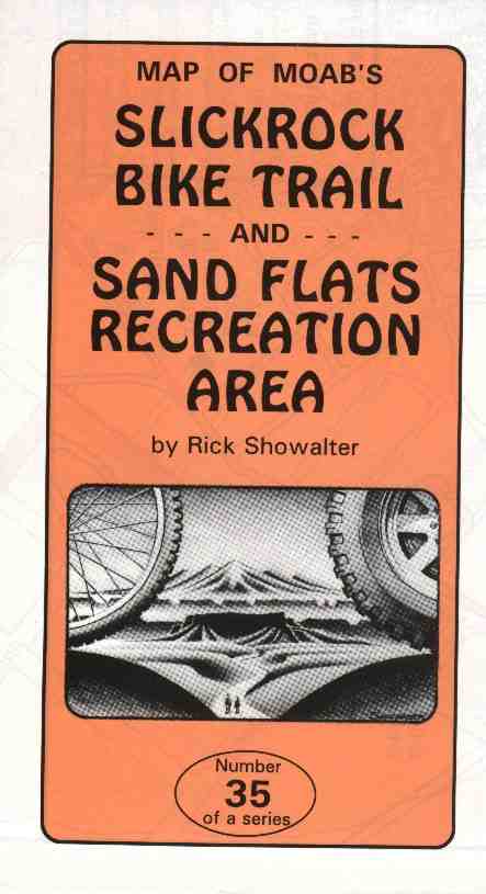 0035 Map of Moab's SLICKROCK BIKE TRAIL and SAND FLATS RECREATION AREA by Rick Showalter. Hand-drawn, shaded topographic map of southeastern Utah's Sand Flats Recreation Area, with Moab's famous Slickrock Bike Trail on flip side in expanded detail. 25 x 38. (0035) Folded $5.00
![]()