
ARCH HUNTER BOOKS; P.O. BOX 400034; THOMPSON SPRINGS, UT 84540-0034
e-mail: archhunter@direcway.com
To order any of these items go to http://www.sidecanyon.com/bookstore/books.htm or contact your local book store.
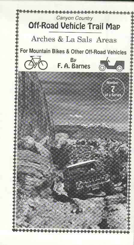 0007 Canyon Country OFF-ROAD VEHICLE TRAIL MAP - Arches & La Sals Areas by F.A. Barnes. Special topographic map showing the named roads and off-road vehicle trails in these two areas. 25 x 38, two-sided. (0007) Folded $5.00
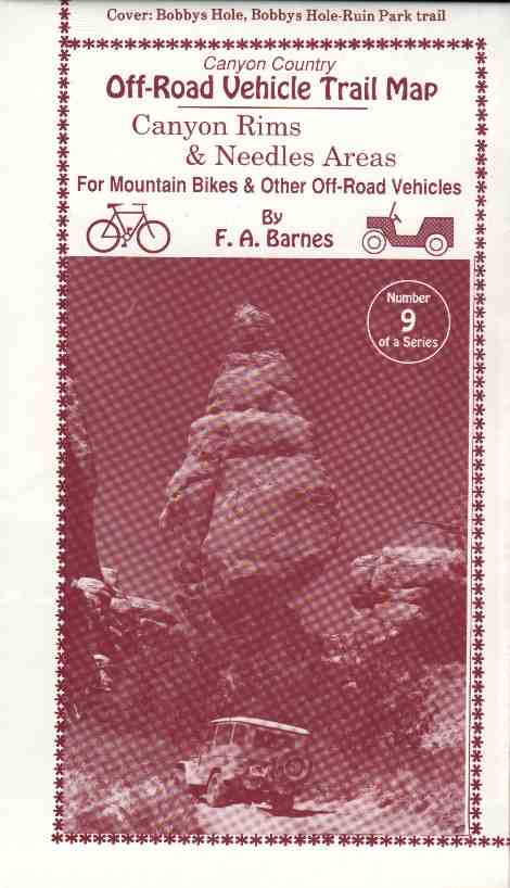 0009 Canyon Country OFF-ROAD VEHICLE TRAIL MAP - Canyon Rims & Needles Areas by F.A. Barnes. Special topographic map showing the named roads and off-road vehicle trails in these two areas. 25 x 38, two-sided. (0009) Folded $5.00
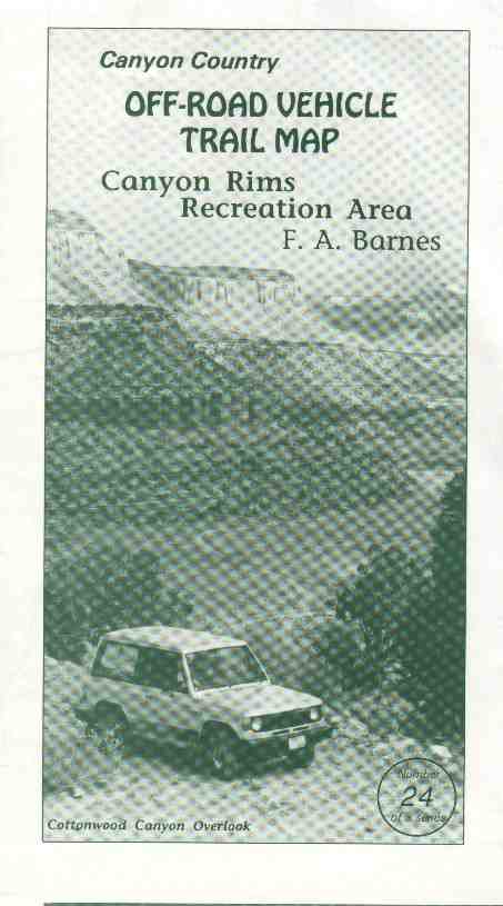 0024 Canyon Country OFF-ROAD VEHICLE TRAIL MAP - Canyon Rims Recreation Area by F.A. Barnes. Special topographic map depicting the roads, ORV trails and other features of the magnificent Canyon Rims Recreation Area. 25 x 38, two-sided. (0024) Folded $5.00
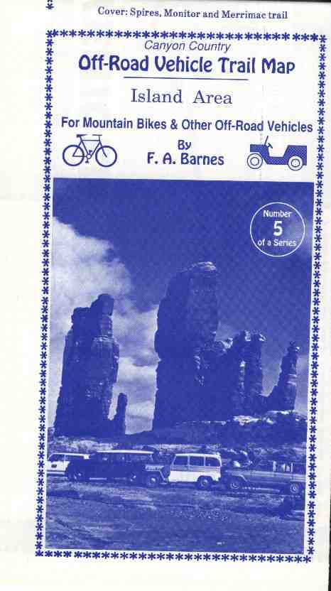 0005 Canyon Country OFF-ROAD VEHICLE TRAIL MAP - Island Area by F.A. Barnes. Special topographic map showing the named roads and off-road vehicle trails in this area. 25 x 38, two-sided. (0005) Folded $5.00
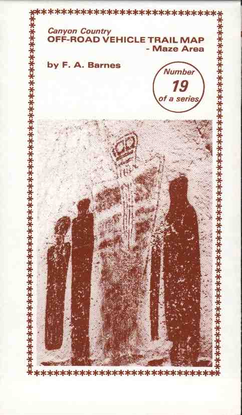 0019 Canyon Country OFF-ROAD VEHICLE TRAIL MAP - Maze Area by F.A. Barnes. Special topographic map showing the named roads and off-road vehicle trails in this area. 25 x 38, two-sided. (0019) Folded $5.00
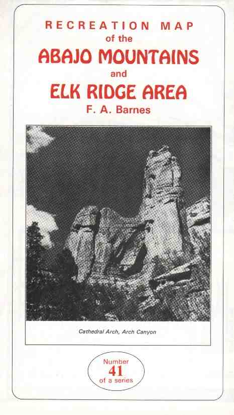 0041 Recreation Map of the ABAJO MOUNTAINS & ELK RIDGE AREA by F.A. Barnes. A road map of this large expanse of public land in southeastern Utah, with special areas highlighted. Supplemental text describes the area's human and natural history and supports such recreational activities as camping, four-wheeling, hiking, mountain biking, skiing and photography. 25 x 38, two-sided. (0041) Folded $6.00
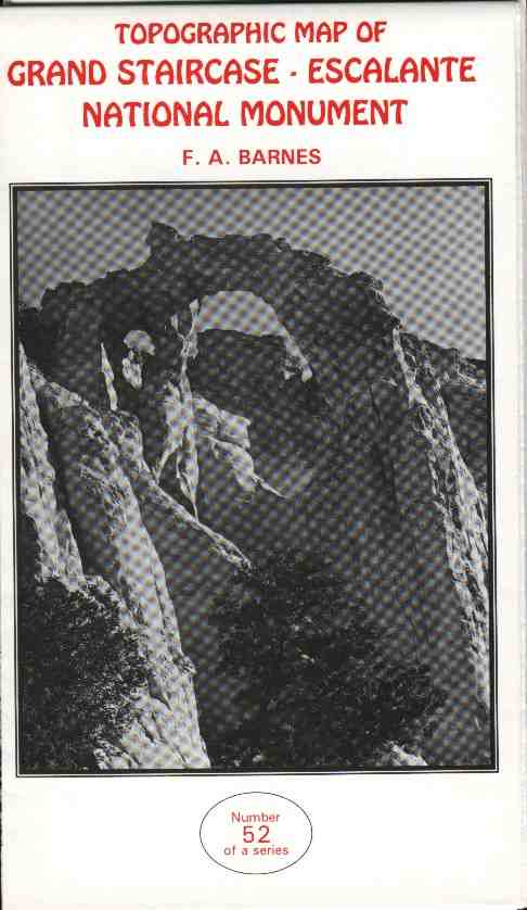 0052 Topographic Map of GRAND STAIRCASE - ESCALANTE NATIONAL MONUMENT by F.A. Barnes. Based on USGS metric series of maps, the monument boundary and nearby towns are shown. Roads and off-road vehicle trails emphasized. Natural arches and other nearby geographic features depicted. 25 x 38, one-sided. (0052) Folded $6.00, Rolled $ Ask.
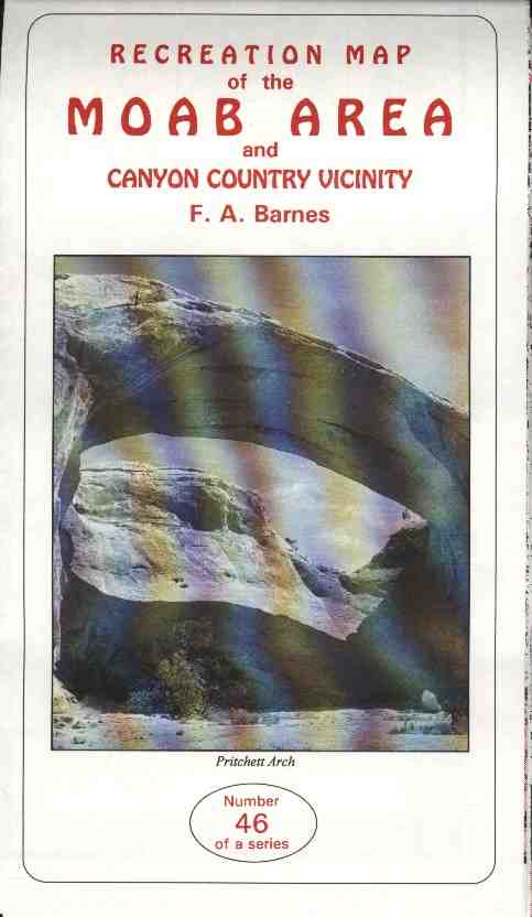 0046 RECREATION MAP of the MOAB AREA by F.A. Barnes. Depicts the roads and popular off-road vehicle trails in the general region of southeastern Utah, with Moab as its heart. Folded map, printed both sides. 25 x 38, two-sided. (0046) Folded $6.00
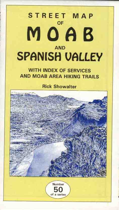 0050 Street Map of MOAB and Spanish Valley by Rick Showalter. Moab side has all streets and other general features noted with nearby topography in shaded-relief. Spanish Valley side is based on USGS 7 1/2' topo maps, with added detail. Both with business locator. 25 x 38, two-sided. (0050) Folded $6.00, Rolled $ Ask.
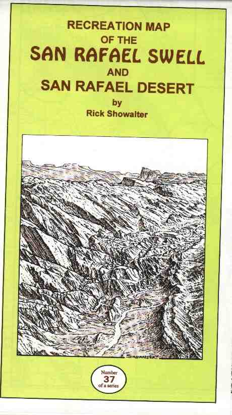 0037 Map of SAN RAFAEL SWELL and San Rafael Desert by Rick Showalter. Hand-drawn, shaded topographic map of roads, ORV trails and major features of southeastern Utah's San Rafael Swell and vicinity. Three colors, high gloss paper. 25 x 38, two-sided. (0037) Folded $6.50
![]()