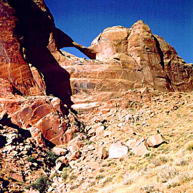
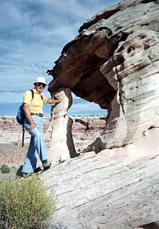
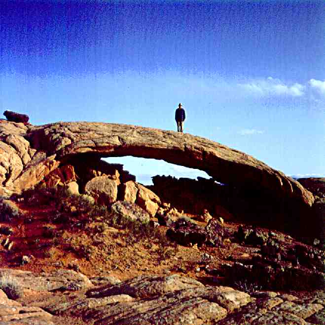
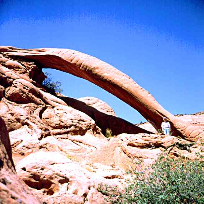
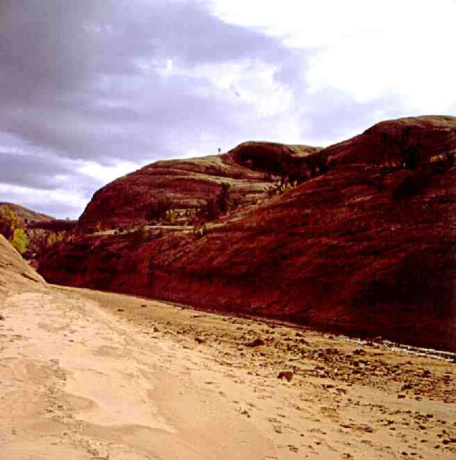
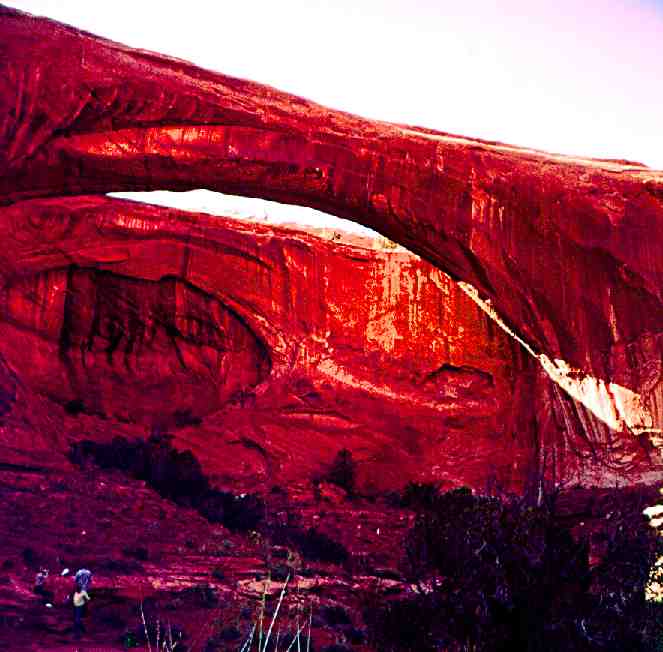
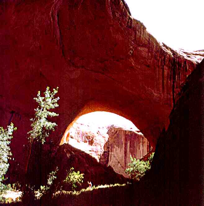
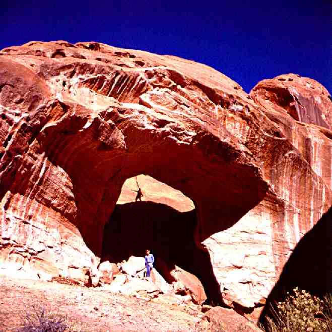
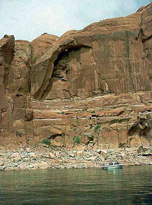
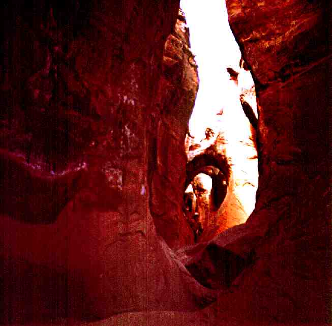
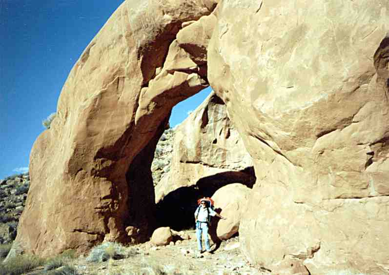
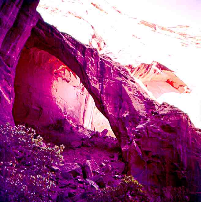
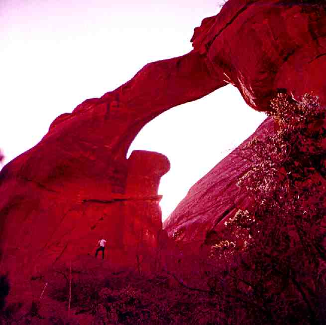
 1. Aleson Arch, Lake Powell (formerly Flying Eagle Arch).
 1. Aleson Arch, Lake Powell (formerly Flying Eagle Arch).
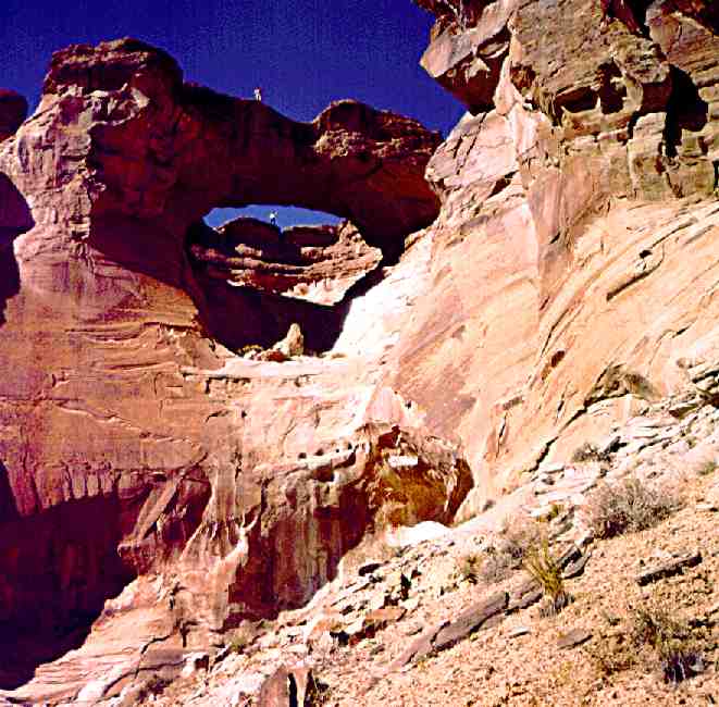
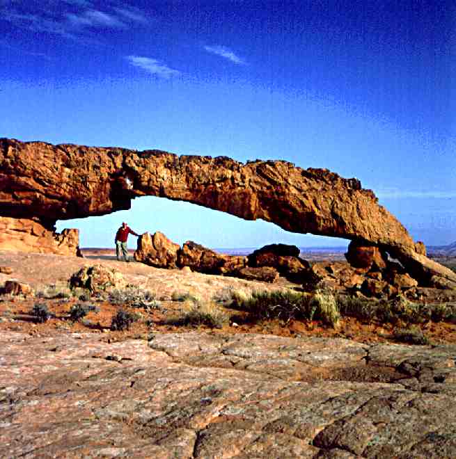
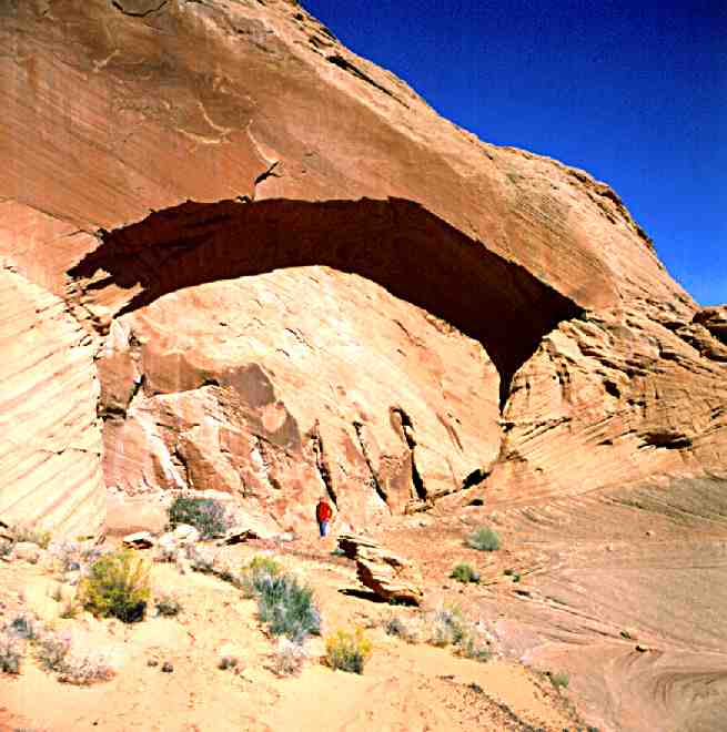
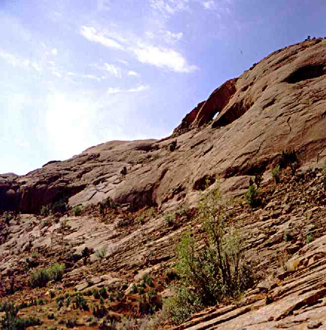
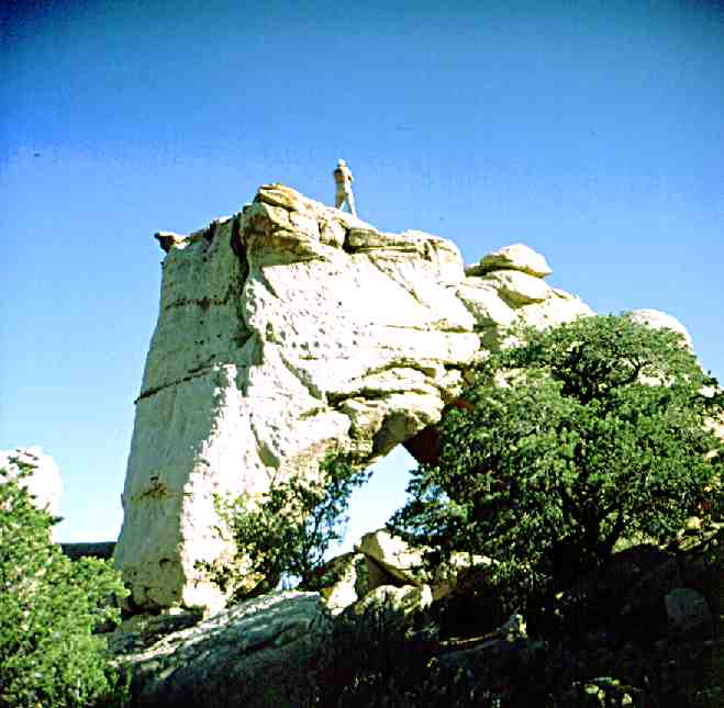
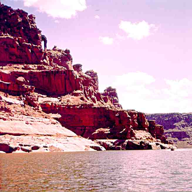
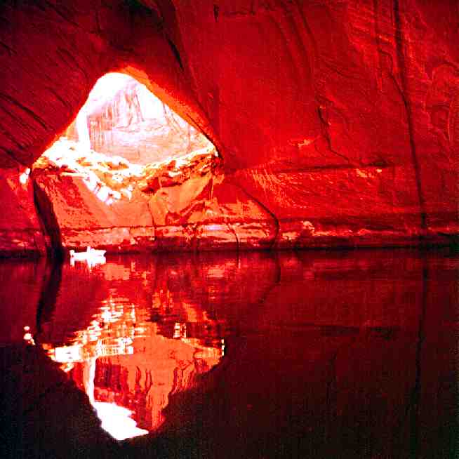
 2. Alice "J" Arch, Lake Powell (05/04/00).
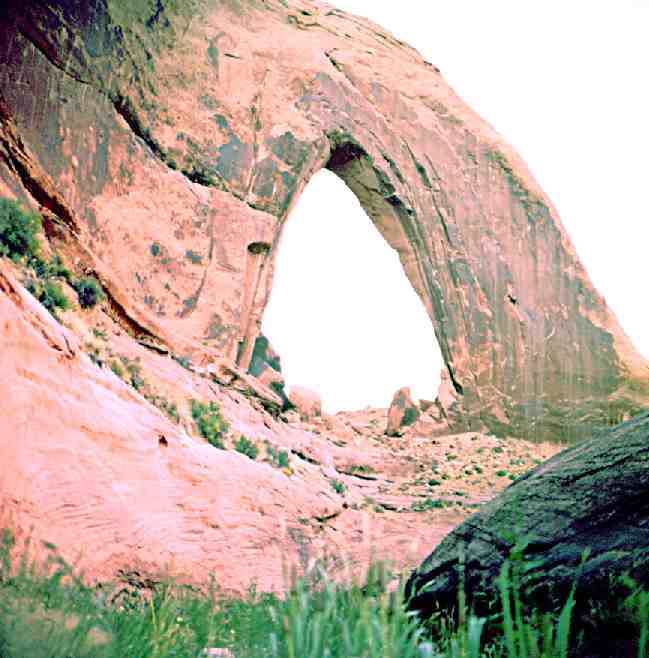
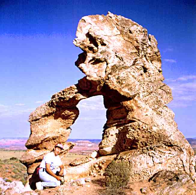
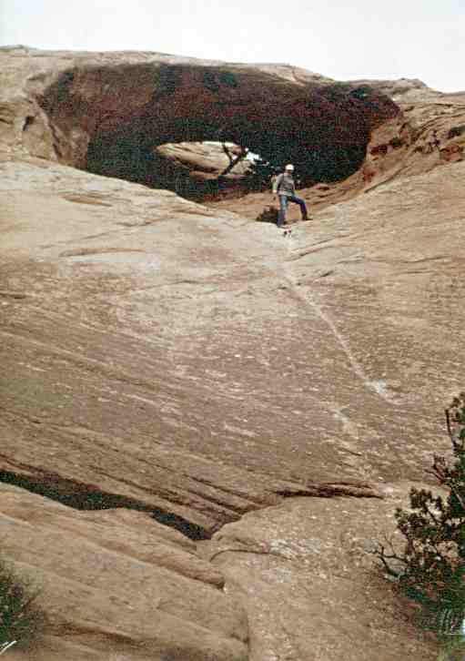
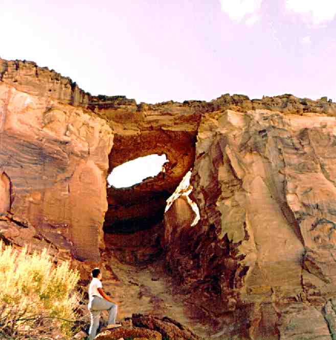
 3. Anteater Arch, Lake Powell (09-18-88). Repeated attempts to gain this arch failed. This photo shows my friends Larry Boochez and Jim Shields who finally climbed to it with the help of a technical climber and his gear.
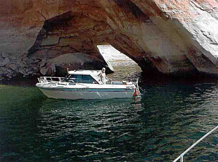
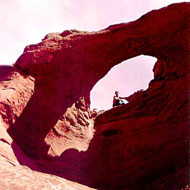
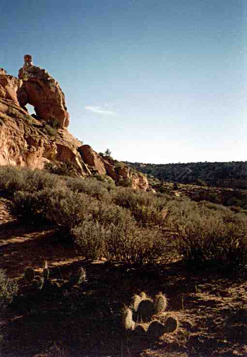
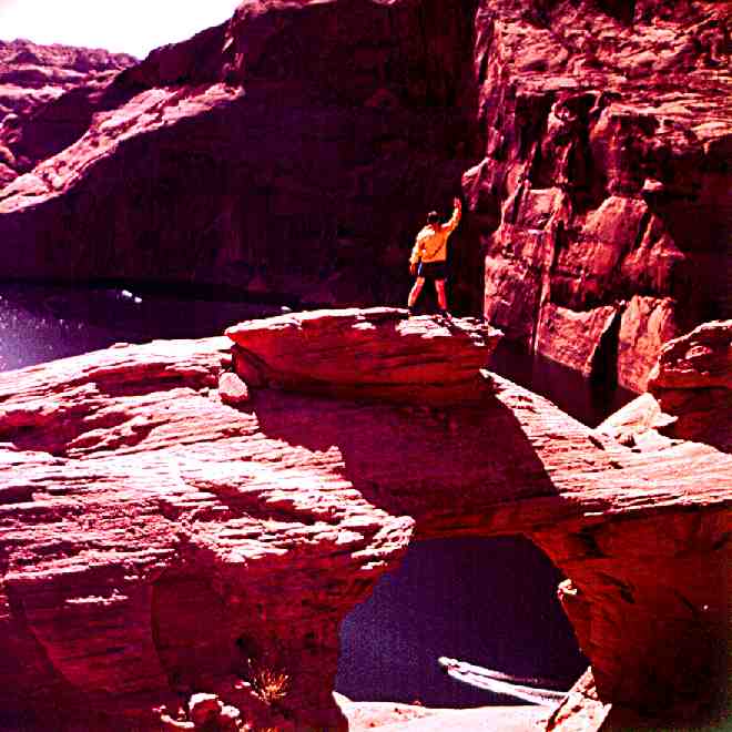
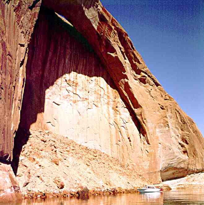
 4. Annies' Arch, Lake Powell Arch in wall of Lake Powell just below mouth of Annies Canyon.
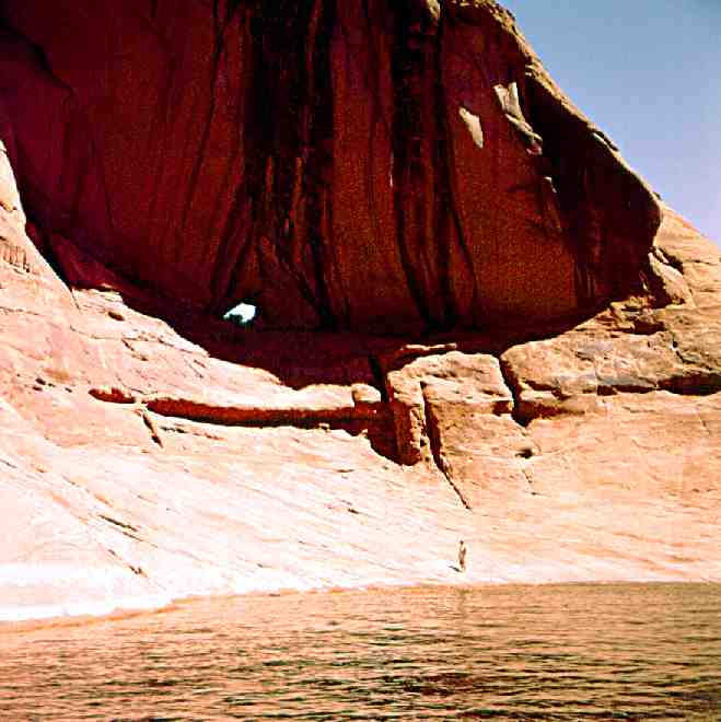
 5. Arch in the Sky, Cummings Mesa near Lake Powell.
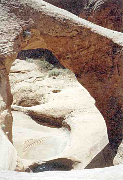
 6. Bement Arch, Davis Gulch, Lake Powell.
 7. Beverly Arch in Deep Canyon off the San Juan Arm of Lake Powell. Man is Robert Vreeland.
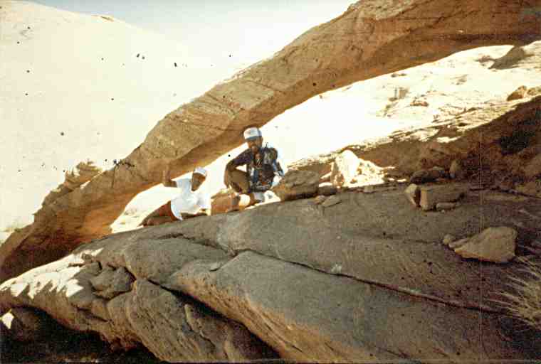
 8. Birthday Arch in Upper Buckskin Drain. Man: Frank Talbot.
 9. Un-named, near Birthday Arch, Buckskin Draw near Lake Powell.
 10. Blue Pool Arch in Blue Pool Canyon near Lake Powell. On Cliff: Bob Vreeland, On Span: Steve Jones.
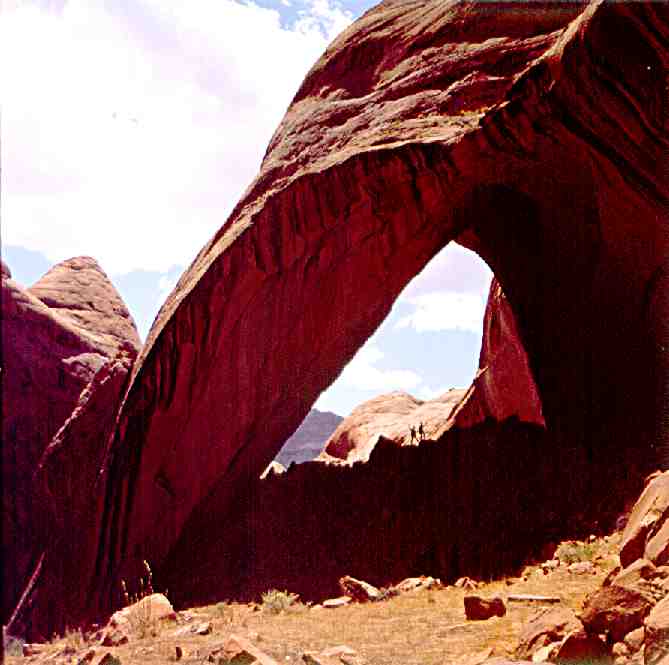
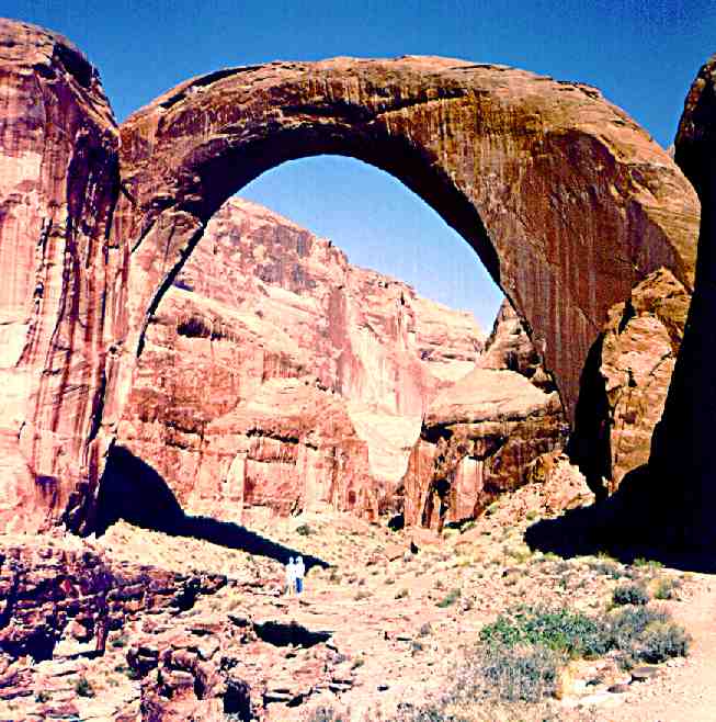
 11. Broken Bow Arch, Photo by Alice Jones, Man: Stan Jones.
 12. Butterfly Arch, Music Temple Canyon, Lake Powell. Man: John Emmerton.
 13. Cave Arch, off Hole-in-the-Rock Road near Sunset Arch near Lake Powell. Man: Myron Baumer.
 14. Sunset Arch, off Hole-in-the-Rock Road near Cave Arch near Lake Powell. Man: Myron Baumer.
 15. Carrot-top Arch on shelf above Little Arch Canyon -- named for red-haired Mrs. Stan Jones who was apparently the first to see it from a boat on Lake Powell. Man: John Emmerton.
 16. Cliff Arch in Coyote Gulch, Lake Powell. Also Known as Jughandle. Man: Ervin Kranzler.
 17. Cobra Arch on East Clark Bench near Lake Powell. Person: Marion Kranzler.
 18. Corkscrew Arch in Upper Antelope Canyon, Lake Powell. Discoverer: Stan Jones.
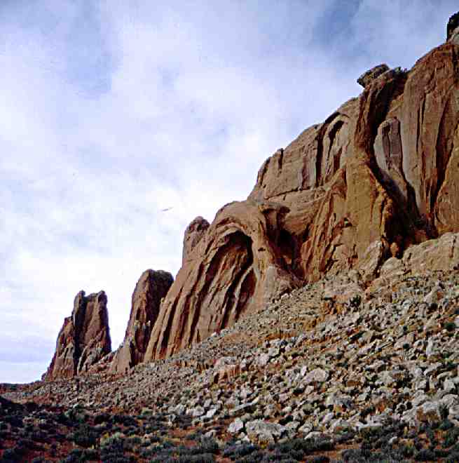
 19. Coyote Buttes Arches, Lower West Clark Bench above Wire Pass, off Houserock Valley Road. Man: Bob Vreeland.
 20. Coyote Natural Bridge, Coyote Gulch, Lake Powell. Man: Ervin Kranzler.
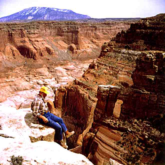
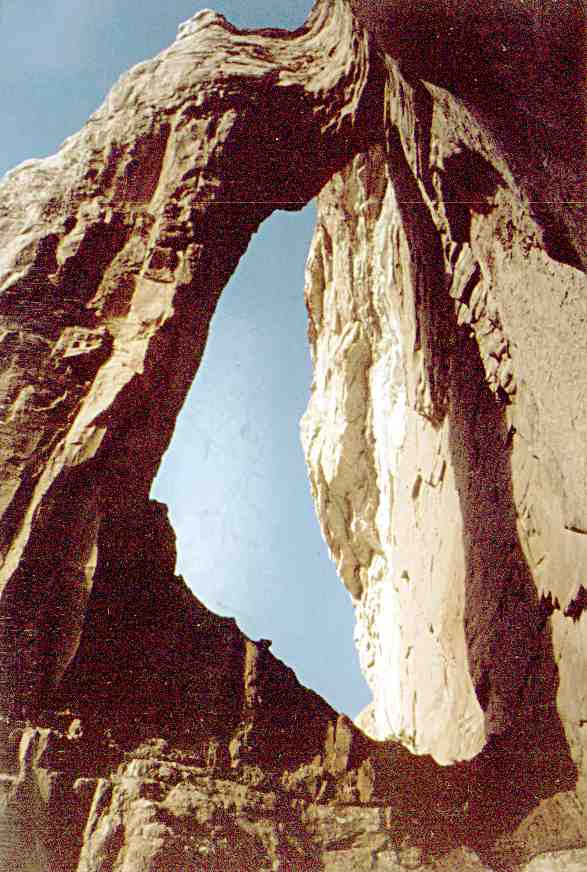
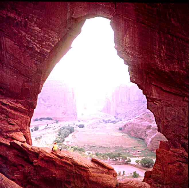 21. de Chelly Arch (The Window), Canyon de Chelly, Navajo Reservation.
 22. Diagnetic Arch, Face Canyon, Lake Powell.
 23. Dry Rock Creek Arch, Dry Rock Creek Canyon, Lake Powell.
 24. Eggshell Arch in Nitsin Canyon, Navajo Reservation.
 25. Forbidding Canyon Arch, Lake Powell. Man: Harvy Leake.
 26. Gregory Natural Bridge, 50-Mile Canyon, Lake Powell. Several months prior to inundation in 1969. Man: Larry Sanderson, is fishing.
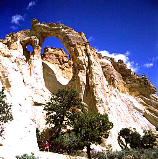 27. Grosvenor Arch, Upper Cottonwood Road near Henrieville, Utah. Man: Ervin Kranzler.
 28. Halls Creek Natural Bridge, Halls Creek Bay, Lake Powell. Persons: Top: Alice Jones, Below: Steve Jones.
 29. Hawkeye Arch Natural Bridge in small canyon between Deep Canyon and Desha Canyon, Lake Powell. Man on Cliff: Bill Sturm.
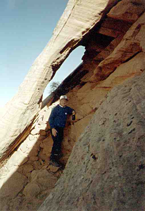
 30. Hole-in-the-Rock Arch, Paria Plateau, back side.
 31. Houserock Valley Arch on Houserock Road near Coyote Wells Ranch.
 32. Jack's Arch in cave on shelf (former Colorado River or San Juan River bed) in tiny canyon to left of San Juan River arm's mouth. This was probably first seen by Miser and should be named Mizer Arch. Man: John Emmerton.
 33. Jacob Hamblin Arch, Coyote Gulch, Lake Powell. Man: Ervin Kranzer.
 34. Jett Arch in Upper Sand Wash, aside West Canyon on Lake Powell.
 35. Jula Arch, West Clark Bench near Lake Powell. Person: Julia Betz, discoverer.
 36. Keyes Arch, South of Page, Arizona.
 37. Keyhole Arch, Wetherill Canyon, Lake Powell. Man: Stan Jones, atop Cummings Mesa.
 38. Upper Little Valley Jughandle Arch on a wall of the Kaiparowits Plateau, about five miles upstream from Mary Bulloch's Ranch.
 39. Lower Little Valley Arch about a mile downstream from the Warm Creek Road end at Mary Bulloch's Ranch.
 40. Madonna Arch, Dry Rock Creek Canyon, Lake Powell.
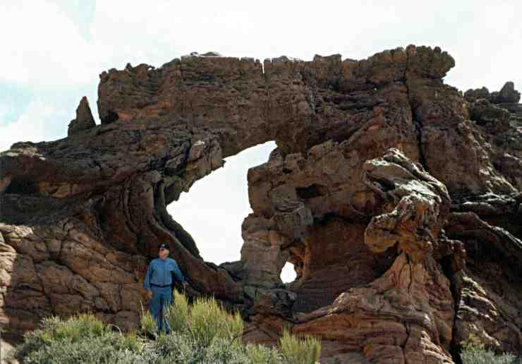
 41. Margaret Arch, White Mesa, Navajo Reservation.
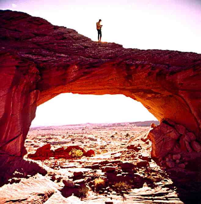
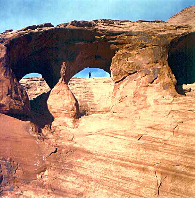
 42. Mike's Arch, Upper Navajo Canyon Tributary. Cha-Thla-Gai Arch -- Carl I. Wheat, 1954 Navajo Canyon Expedition. 55 feet high, 25 feet to the lower part.... The Hole 27 feet wide. Navajo Reservation.
 43. Navajo Canyon I in Navajo Canyon near 1861 Inscription Cave (opposite), below Nitsin Canyon, Lake Powell.
 44. Navajo Canyon II, Lake Powell.
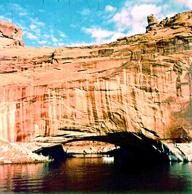
 45. Old Settlers Natural Bridge, Lake Powell.
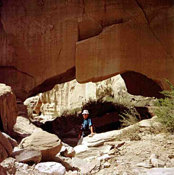
 46. Overlooked Arch, Dry Rock Creek, Lake Powell.
 47. Window-Wind Arch atop Kaiparowits Plateau near Lake Powell.
 48. Page Arch, Manson Mesa, North Rim, Lake Powell.
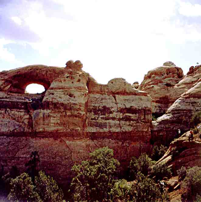
 49. Sam Pollock Arch in tributary to Hackberry Canyon near Lake Powell. Man: Erv Kranzler, at base of Left Springer.
 50. Peek-A-Boo Arches in canyon off Hole-in-the-Rock Road near Lake Powell.
 51. Piano Leg Arch, Upper Lake Powell near mouth of Sheep Canyon. On left is Piano-leg Arch.
 52. Quick Arch near ruins of Rainbow Lodge on Navajo Reservation. Man: Stan Jones. Cat: a stray.
 53. Rainbow Bridge, Lake Powell. Persons: Alice Jones, Margaret Selna.
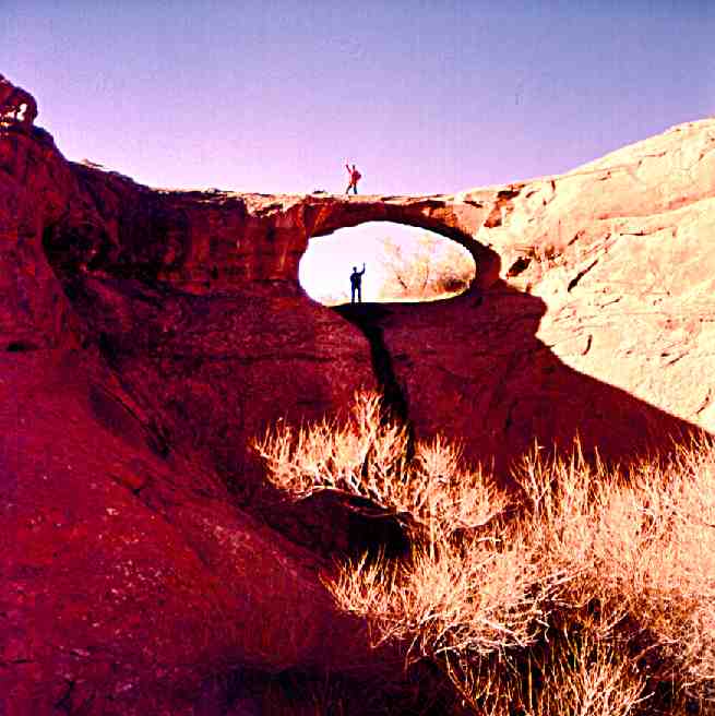
 54. Rainbow Trail Arch near Red Bud Pass on trail to Rainbow Bridge, Lake Powell. Man: John Emmerton.
 55. Rim Arches, 3 separate openings. San Juan Arm of Lake Powell near (opposite) mouth of Deep Canyon. Also (mistakenly) called Peek-A-Boo.
 56. Rock Creek Jughandle Arch.
 57. Ruins Arch off U.S. 98 between Page and Kaibeto, Arizona. Man: Bob Vreeland.
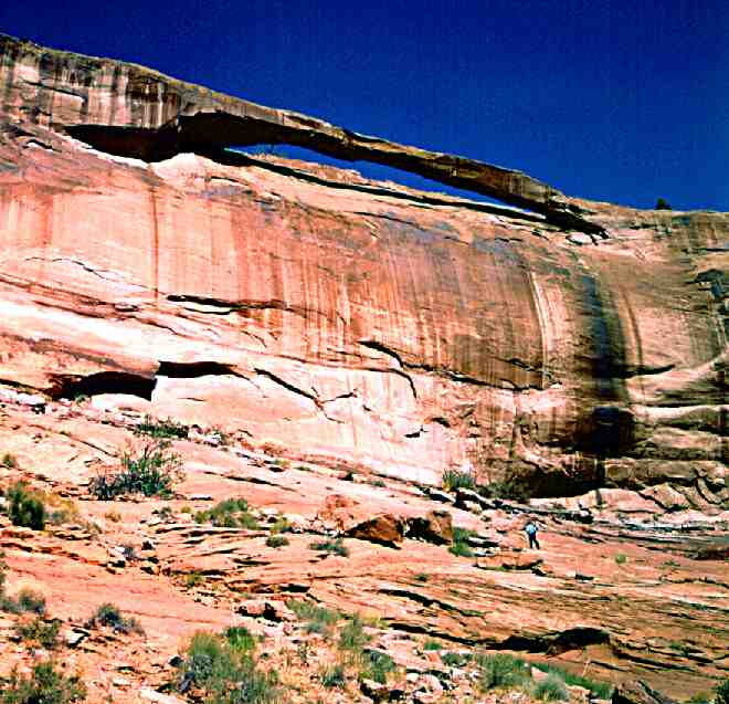
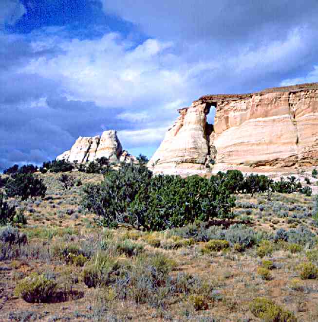
 58. Skylight Arch, U.S. 89 between Page and Big Water adjacent to Lake Powell.
 59. Starlight Arch on Mesa above Old Paria Townsite, off U.S. 89 between Page, Arizona and Kanab, Utah.
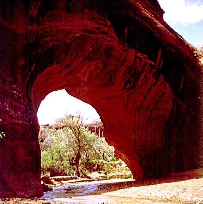
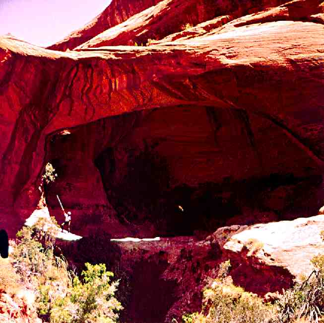
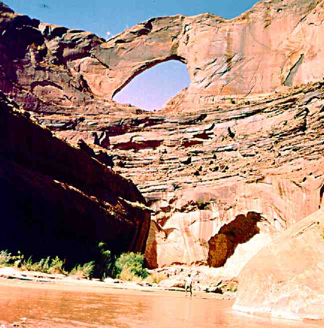 60. Stevens Arch, Lower Escalante River Gorge, Lake Powell. Man: John Emmerton.
 61. Tent Arch or Railroad Arch from across canyon near Kaibeto on Navajo Reservation.
 62. Triple Arch in Cottonwood Canyon, Lake Powell. Man: Bob Vreeland.
 63. Wahweap Window, Wahweap Bay, Lake Powell.
 64. White Craig Arch, Kaibeto Wash on Navajo Reserrvation.
 65. White Craig Arch on slope of Navajo Mountain above Oak Bay, Lake Powell. Man: John Emmerton.
 66. White Mesa Arch, South West of Kaibeto Trading Post on Navajo Reservation. Man: Bob Vreeland.
 67. Woolsey Arch, Rock Creek Bay, Lake Powell.
 68. Wiregrass Arches Natural Bridge, upper canyon, Wiregrass Canyon, Lake Powell. Man: Eddy Slater.
 69. Wiregrass Arch in Wiregrass Canyon, Lake Powell.
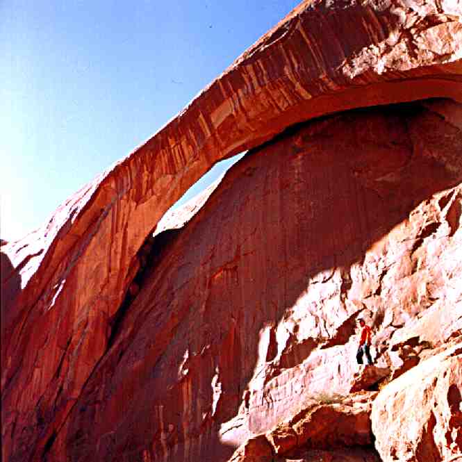
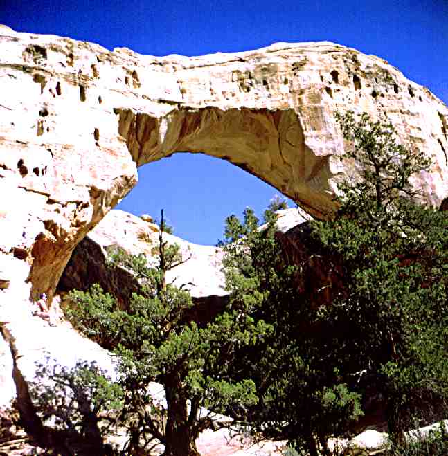
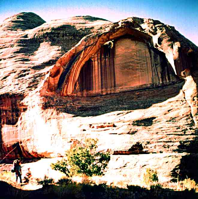
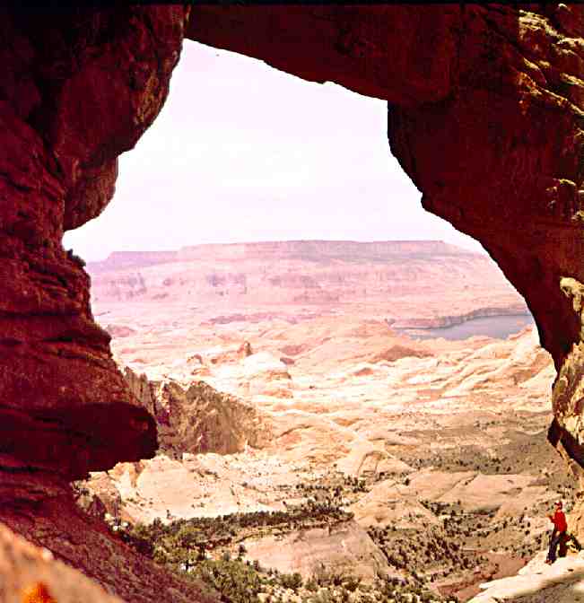
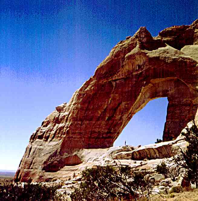
 70. Wrather Arch, said to be the world's eight largest natural rock span. It is unique in that it juts from the end of Wrather Canyon rather than from its side. The man, John Emmerton, standing atop the talus beneath the great stone canopy is hardly visible because of the massiveness of Wrather Arch. Paria Gouge, Paria River.
 71. La Gorge Arch, Davis Gulch, Lake Powell.
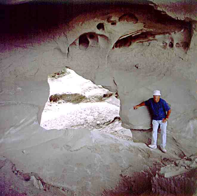
 72. Dry Rock Creek Alcove Arch, Lake Powell.
 73. Twilight Canyon Arch, Lake Powell.
 74. Owl Arch along North Rainbow Trail on Navajo Reservation.
 75. Zane Grey Arch, Explorer Canyon, Lake Powell.
 76. Halls Creek Bay Arch, Lake Powell.
 77. Oak Bay Arch, Lake Powell.
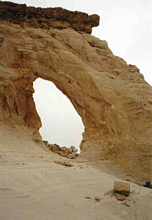
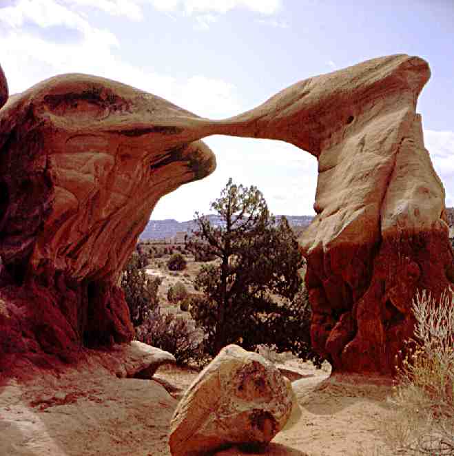 78. Devils Arch or Metate Arch, Devils Garden off Hole-in-the-Rock Raod near Escalante, Utah.
Web-page © 2002 by Frank Anderson, Freedom Industries
Thompson Springs, Utah. freedom@lasal.net